

Thermal Drone Deer Recovery · Southeastern Ohio
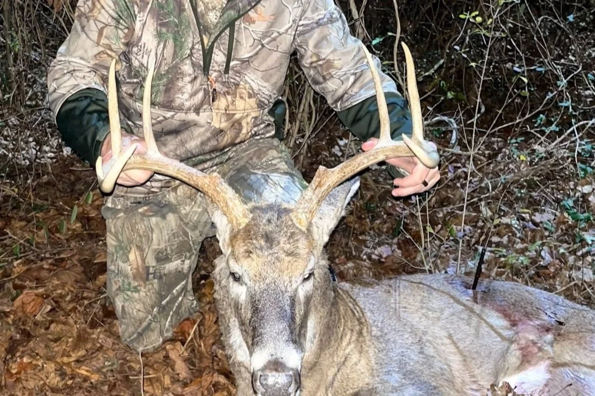
You Said It Was a Good Shot.
We believe you.
Four years of thermal SAR. Year-round operations. When the blood trail runs out, we put thermal imaging in the air. Available 24/7 across Ohio during hunting season.
Why MOV Drone Workz
Washington County Is Our Primary Response Area.
Wayne National Forest runs right up against the edge of Reno, Ohio. That is our home. When a hunter calls for a recovery, we are not logging miles from Columbus or Parkersburg. We are already here, equipment staged, ready to deploy.
That proximity matters when it is getting dark, temperatures are dropping, and the window to recover your deer is closing fast. Faster response means better thermal contrast, a cleaner search, and a higher chance of recovery.
The Process
Simple. Fast. No Deer Left Behind.
Call or Text
Reach us at 740-434-7699 any time during hunting season. Tell us your location, shot details, and last known position of the deer. No form required to start the conversation. We assess airspace, weather, and terrain before deployment.
We Deploy
Once conditions are confirmed safe and legal, we load up and head to you. You can cancel at any point before we take flight with no obligation. We bring everything needed for a full thermal search, including an external monitor so you can watch the search in real time.
We Find Your Deer
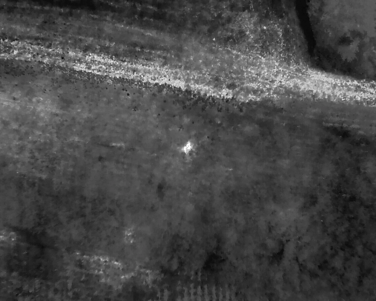
Our M30T thermal drone performs a structured grid search from altitude, detecting heat signatures ground teams cannot see. You watch the thermal feed live on the external monitor we bring on site. We tell you exactly what we find and where.
Equipment & Capabilities
Professional Grade. Every Search.
We fly the DJI Matrice M30T, a professional-grade all-weather thermal aircraft used by fire departments, search and rescue teams, and commercial operators across the country. This is not a consumer drone with a clip-on thermal camera.
Every search is conducted under FAA Part 107 certification with full business insurance coverage. You get professional documentation of the flight regardless of outcome.
Pricing
Flexible Pricing. No Surprises.
Rates vary based on time of day and distance from Marietta, Ohio. Call or text for a quote before we deploy. No payment is required until we are on site and ready to take flight.
You can cancel at any point before takeoff with no obligation. We will always give you a straight number before we show up.
Time of Day
Peak and Off-Peak Rates
Rates vary depending on time of call. Daytime, evening, and late-night deployments are all available during hunting season.
Mileage
Beyond 60 Miles Round Trip
Competitive mileage rates apply for locations beyond 60 miles round trip from Marietta, OH. Washington County searches typically have no mileage add-on.
Special Discounts
Multiple Ways to Save
15% discount for First Responders and Veterans. Completed a Herd Analysis with us this season? You receive an additional $100 off your deer recovery search.
Important Information
What You Need to Know Before You Call
Service Area
We operate throughout Ohio with Washington County as our primary response zone. Wayne National Forest and surrounding terrain is our home ground. Travel beyond 60 miles round trip carries a mileage rate.
Cancellation Policy
No payment is required when you submit a search request form. You can cancel at any point before we take flight. Once airborne, the search fee applies regardless of outcome.
Flight Requirements
We require greater than 3 miles of visibility and must maintain 500 feet below cloud cover. All operations are conducted under FAA Part 107 certification with full airspace authorization.
What We Deliver
Every search is screen recorded in full. You receive a digital download of the complete flight footage after the search, whether the deer is recovered or not.
West Virginia: Current state regulations prohibit the use of drones for locating downed deer in West Virginia. We operate in Ohio only and remain fully compliant with all applicable state laws. We are monitoring legislative updates and will expand our WV service area if and when regulations allow.
Ready to Deploy
Make the Call.
We Are Close.
Washington County. Wayne National Forest. The surrounding region. Day or night, rain or cold. Call or text and we will get you a straight answer fast. First Responder and Veteran discounts apply on every search.